Navigating the great outdoors can be both challenging and rewarding for you. Having a good understanding of how to efficiently use a compass and map is essential for successful navigation during your camping trips.
In this discussion, we will explore the importance of these navigation tools, examine the parts of a compass, describe different types of maps and methods for reading them, provide a thorough guide on effectively using a compass and map together, and give useful tips and strategies to improve your navigation abilities.
Make sure to stay attentive to avoid typical mistakes and ensure a smooth camping experience!
Key Takeaways:

- Always bring a compass and map when camping for proper navigation and to avoid getting lost.
- Learn how to read a compass and interpret different types of maps for successful navigation.
- Master the step-by-step guide for using a compass and map together to effectively navigate your camping trip.
Why It is Important and What You’ll Need?
Understanding how to navigate using a compass and map is essential for ramblers and backpackers venturing into the wilderness. Mastering these skills enables you to confidently traverse unfamiliar terrains and ensure a safe return to your starting point.
Having a compass and a detailed map in your rucksack is akin to carrying your own personal GPS system while in the wild. These tools provide concrete direction that technology may sometimes lack. The ability to interpret topographic maps and comprehend contour lines allows you to predict changes in elevation and pinpoint important landmarks.
Although GPS devices offer convenience, they may prove insufficient in challenging environments. Hence, integrating traditional navigation techniques with modern technology establishes a comprehensive strategy for a successful outdoor expedition.
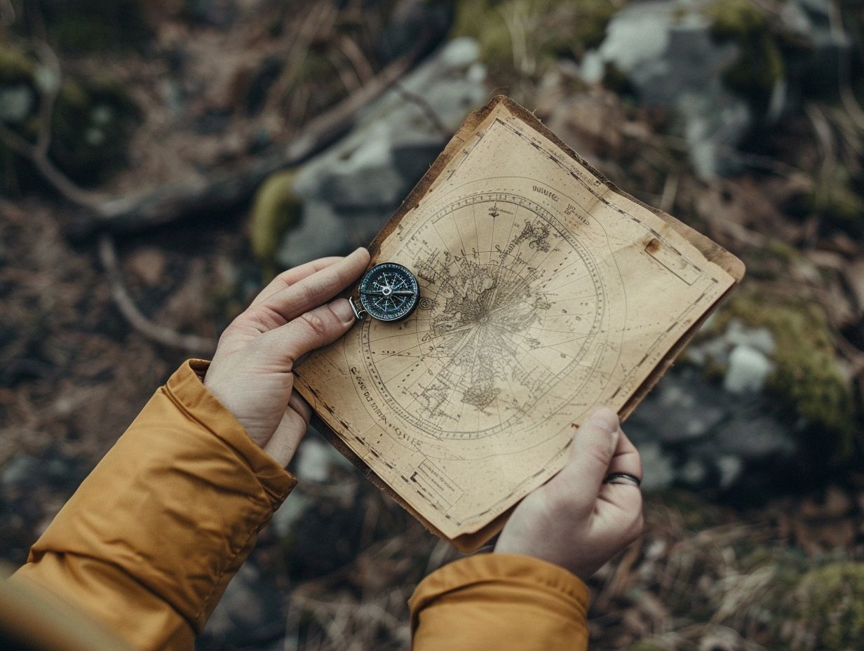
Understanding a Compass
A compass is a crucial tool for navigation, assisting you in determining your direction in relation to the Earth’s magnetic field. It comprises a magnetic needle that aligns itself with the Earth’s magnetic north, providing you with the bearing needed to navigate effectively.
When utilising a compass, it is essential to differentiate between true north and magnetic north. True north signifies the direction towards the North Pole, whereas magnetic north is where the compass points due to the Earth’s magnetic field.
This variation, referred to as declination, necessitates adjustments for accurate navigation. By accounting for declination, you can synchronise your compass readings with true north, ensuring precise navigation and preventing potential errors in your journey.
Parts of a Compass and How to Read It
When using a compass in the wild, it is important to understand its key components for accurate navigation. A typical compass consists of a baseplate, a magnetic needle, an orienting arrow, a direction of travel arrow, and a declination scale.
The baseplate serves as a stable surface for the compass and is essential for proper usage. The magnetic needle points towards magnetic north, helping you orient yourself in the correct direction. The orienting arrow is used to align the compass with your desired course, while the direction of travel arrow shows the direction you should follow.
Additionally, the declination scale is crucial for adjusting to the variance between true north and magnetic north, ensuring precise navigation. Mastering these components and understanding their functions will enable you to confidently navigate through diverse terrains with accuracy.
Reading a Map
Maps are critical companions for navigation, depicting geographical features, landmarks, and terrain details essential for route planning. Understanding how to read maps is fundamental for successful navigation in the wilderness.
When utilising topographic maps, be aware that they provide a wealth of information beyond basic landmarks. These maps reveal elevation contours, water bodies, vegetation types, and man-made structures, offering a comprehensive view of the terrain.
Grid lines are essential for precise location determination, while legends decode symbols used on the map. These symbols denote various features such as trails, roads, rivers, and points of interest. By interpreting these key elements, you can plot routes accurately, identify prominent landmarks, and make informed decisions to reach your destination.
Types of Maps and How to Interpret Them
When navigating outdoor terrains, it is essential to understand the different types of maps available, such as topographic maps, which offer detailed information crucial for accurate navigation. Learning how to interpret these maps, recognise landmarks, and orient oneself is a valuable skill for outdoor enthusiasts.
Topographic maps are specifically designed to represent the Earth’s surface features in a two-dimensional format, capturing three-dimensional elements like terrain, elevation changes, water bodies, vegetation, and man-made structures through the use of contour lines, symbols, and colours.
When using a topographic map for navigation, the ability to interpret contour lines to visualise elevation changes is fundamental. Additionally, employing compass bearings and aligning the map with the surrounding landscape aids in precise navigation, enabling hikers, mountaineers, and adventurers to navigate challenging terrains with confidence.
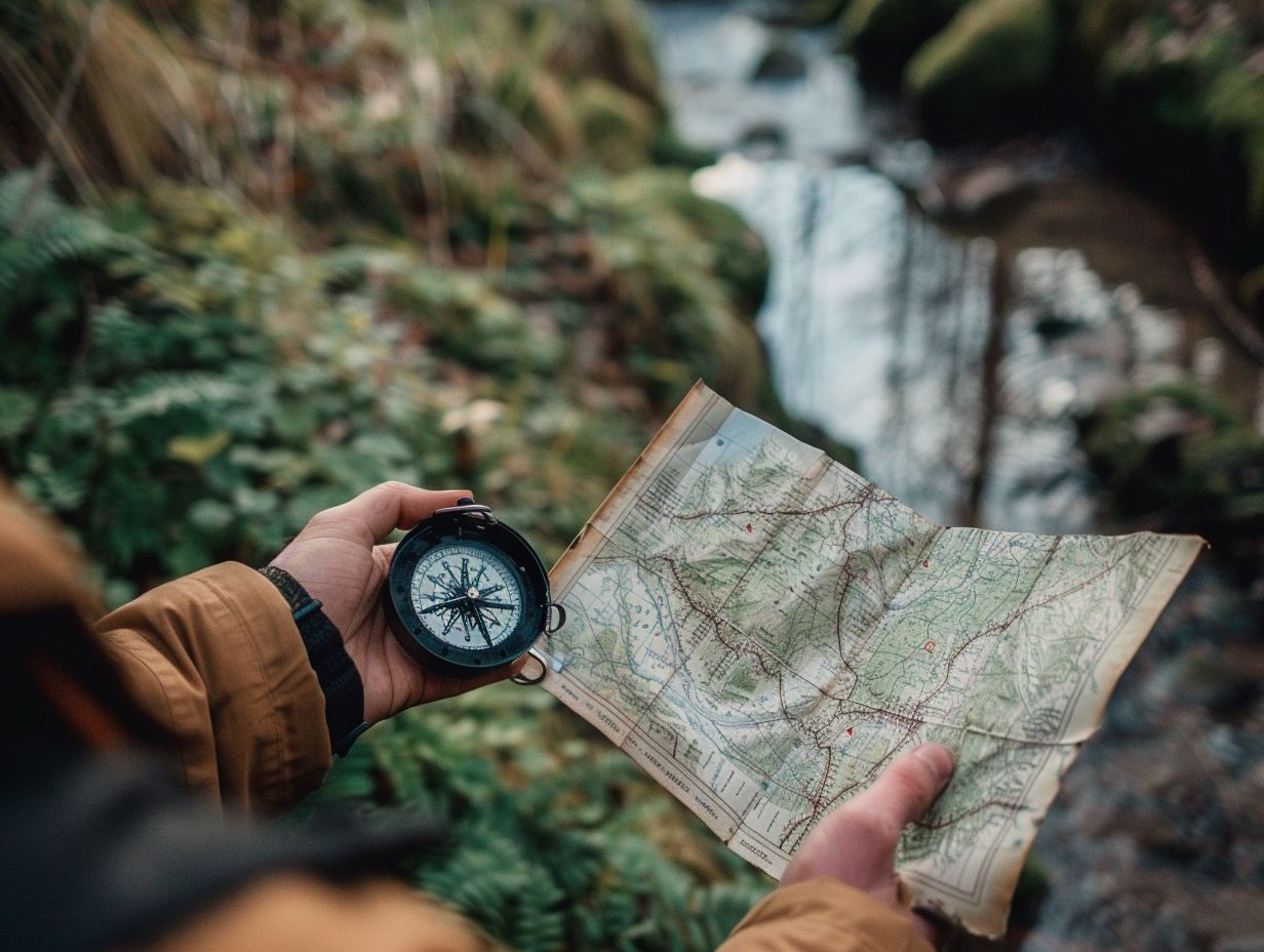
Using a Compass and Map Together
By integrating a compass and map into your navigation strategy, you can enhance your ability to accurately determine your position and planned route.
Leveraging the synergy between a compass and map allows travellers to establish a solid foundation for successful navigation, combining the precision of a compass with the visual representation provided by a map.
Traditional navigation methods are further strengthened by incorporating modern technology like smartphone compass apps and GPS tools, providing increased accuracy, real-time tracking, and convenience.
This seamless integration of traditional and digital tools not only improves the overall navigation experience but also ensures that travellers are well-prepared to navigate various terrains and environments effectively.
Step-by-Step Guide for Navigation
When navigating with a compass and map, you should follow a systematic approach that includes orienting the map, setting bearings, identifying landmarks, and tracking your progress. By adhering to a step-by-step guide, as established by navigation expert Evan Krueger, you can navigate with confidence.
Evan Krueger stresses the importance of initially orienting your map accurately to the actual terrain to provide a precise representation of your surroundings. This process entails aligning the map’s north arrow with the compass’s north needle.
Once the map is properly oriented, it is essential to recognize significant landmarks such as mountains, rivers, or distinct topographical features that can act as reference points along your route. Regularly verifying your bearings and making necessary adjustments will ensure you remain on course and efficiently reach your destination.
Tips and Tricks for Successful Navigation
Mastering the art of navigation requires practice, attention to detail, and insight into useful techniques. As a backpacker or outdoor enthusiast, you can enhance your navigation skills by understanding how to set precise bearings, effectively utilise the direction of travel arrow, and maintain a consistent pace during your trek.
A useful technique for improving your navigation proficiency is to select prominent landmarks along your route and use them as reference points to keep yourself oriented. Additionally, paying close attention to natural indicators such as the sun’s position or the flow of water can offer valuable directional cues.
It is essential to dedicate time to planning your hiking route in advance, taking into account aspects such as terrain complexity, estimated distances, and potential obstacles. By integrating these methods, you can navigate confidently across a variety of outdoor landscapes.
Common Mistakes to Avoid
Avoid common navigation errors and disorientation in the wild by being mindful of inaccurate declination adjustments, improper map readings, and neglecting compass components. Use resources like the NOAA website and ensure a thorough understanding of compass components to steer clear of these pitfalls.
For example, a failure to consider magnetic declination can lead to significant directional inaccuracies, potentially derailing your intended route.
It is imperative to adjust compass readings correctly to maintain precision in navigation. When interpreting maps, overlooking crucial elements such as contour lines or omitting proper map orientation can result in confusion and the risk of becoming lost.
Maintaining compass components through regular cleaning and calibration is vital to guarantee their reliability. Stay informed by accessing online resources like the NOAA website for up-to-date information on magnetic declination. By leveraging these tools, outdoor enthusiasts can improve their navigation skills, minimising the chances of veering off course in unfamiliar terrain.
Frequently Asked Questions
What is the purpose of using a compass and map for camping?
The purpose of using a compass and map for camping is to navigate your way through unfamiliar terrain and reach your desired destination safely. These tools help you determine your current location, plan your route and stay on track while exploring the outdoors.
How do I use a compass and map for camping?

First, orient your map to the direction of the north using the compass. Then, align the compass with your desired direction of travel. Next, hold the compass flat and turn your body until the needle points to the north on the compass. Finally, follow the direction of travel arrow on the compass to reach your destination.
What are the different types of compasses used for camping?
The two main types of compasses used for camping are baseplate compasses and lensatic compasses. Baseplate compasses are lightweight and have a clear base with a rotating compass housing. Lensatic compasses are more durable and have a sighting mechanism to accurately determine direction.
How do I read a map when using a compass for camping?
To read a map when using a compass for camping, first locate your current position on the map. Then, align the map with the direction of the north indicated by the compass. Use the compass to determine which direction you need to travel in order to reach your destination, and follow the map’s scale and symbols to navigate your way.
What are some common mistakes to avoid when using a compass and map for camping?
One common mistake is not properly orienting the map to the direction of the north. This can lead to incorrect navigation and getting lost. Another mistake is not taking into account declination, which is the difference between true north and magnetic north. It is important to adjust for declination when using a compass and map for accurate navigation.
Are there any additional tips for using a compass and map for camping?
Yes, it is important to always carry a backup compass and map in case of emergencies. Additionally, it is recommended to practice using a compass and map before embarking on your camping trip to ensure you are comfortable with the navigation process. Finally, always remember to keep your compass and map dry and in good condition for accurate readings.