Walking Dartmoor: the best scenic and historic routes
· Updated
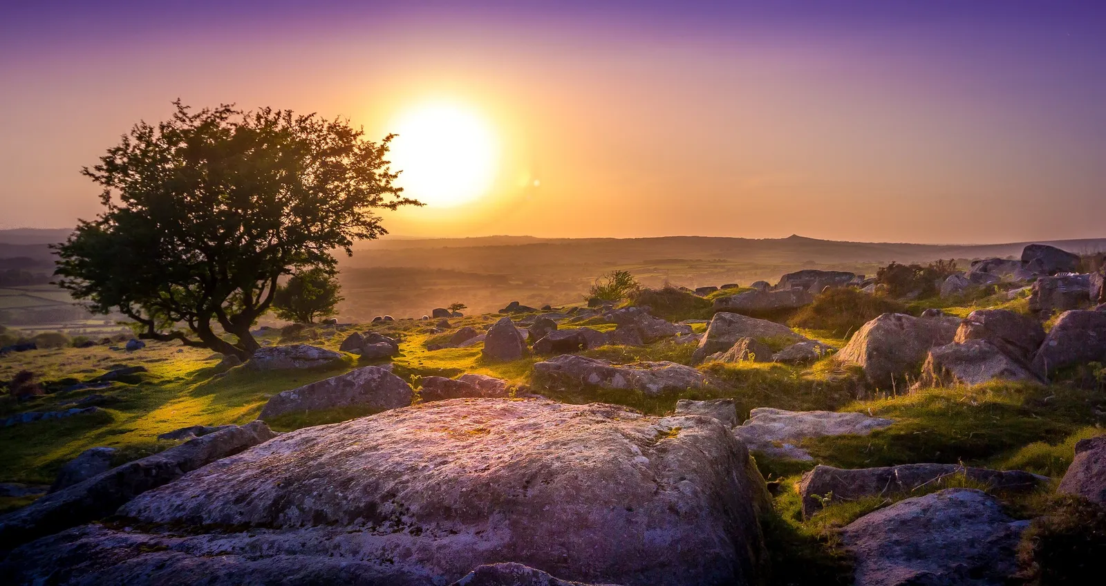
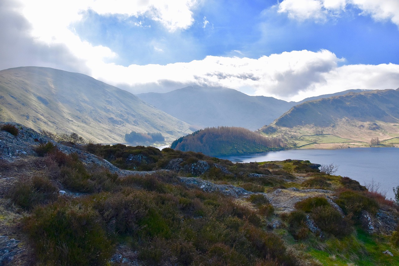
The best walks on Dartmoor mix wide granite moorland with real history underfoot. In a single day you can stand on High Willhays, the highest point in southern England at 621m, wander an ancient oak wood that has survived for centuries, and cross a Bronze Age settlement that predates the Romans. Dartmoor National Park covers 368 square miles of Devon and was designated in 1951, and it packs more variety into that space than almost anywhere else in England.
This is part of our guide to camping in the UK's national parks, and it sits alongside the campsite listings on Camping Sites in Britain. Below you will find named routes with distances and difficulty, the one thing that makes Dartmoor legally unique for campers, and the safety detail nobody should skip: the military firing ranges.
The best walks on Dartmoor at a glance
These seven routes cover the full spread, from a gentle riverside stroll to a full moorland summit. Distances and times are round trips at a steady walking pace, and every one uses OS Explorer OL28 (Dartmoor).
| Route | Distance | Time | Difficulty | Start point |
|---|---|---|---|---|
| Haytor and the tors circular | 4 miles | 2 hours | Easy | Haytor lower car park |
| Wistman's Wood from Two Bridges | 3 miles | 1.5 hours | Easy | Two Bridges car park |
| Postbridge clapper bridge loop | 3.5 miles | 2 hours | Easy | Postbridge village car park |
| Grimspound and Hameldown | 5 miles | 2.5 hours | Moderate | Firth Bridge, near Widecombe |
| Fingle Bridge and the Teign gorge | 5 miles | 2.5 hours | Moderate | Fingle Bridge, Drewsteignton |
| High Willhays and Yes Tor | 7 miles | 4 hours | Hard | Meldon Reservoir car park |
| The Two Moors Way (Dartmoor section) | Up to 20 miles | 2 days | Hard | Ivybridge |
Haytor and the granite tors
Haytor is the easiest of Dartmoor's famous granite outcrops to reach, which is exactly why it gets busy. From the lower car park it is a short pull up to the rock itself, with views east to the coast on a clear day. Loop on to Saddle Tor and Holwell Tor and you get the same big scenery with a fraction of the crowds. The old Haytor Granite Tramway, with its rails carved from stone, still runs across the hillside if you fancy a bit of industrial history on the way round.
Wistman's Wood from Two Bridges
Wistman's Wood is the standout short walk on Dartmoor, a rare fragment of high-altitude oak woodland where stunted, moss-hung trees grow among granite boulders. The trees are ancient and gnarled, and the whole place feels like something out of folklore. The path from Two Bridges follows the West Dart river north for about a mile and a half before the wood appears on the valley side. Stay on the path and keep out of the wood itself, as it is a protected national nature reserve and the ground is fragile. If you like this kind of terrain, our guide to the best campsites for exploring ancient woodlands points you at more of them.
Postbridge and the clapper bridge
Postbridge is home to Dartmoor's most photographed medieval clapper bridge, a set of huge granite slabs laid across the East Dart river around the 13th century. It is right in the centre of the moor and makes an easy circular walk that suits families and anyone after a gentle couple of hours. The village also has a National Park visitor centre, which is a sensible first stop if you want a proper map and the latest access and weather advice before you head out.
Grimspound and the Bronze Age moor
Grimspound is the finest prehistoric site you can walk to on Dartmoor: a Bronze Age settlement of 24 hut circles ringed by a stone wall, sat in a saddle between two hills. From there you can climb Hameldown for a long ridge with views across the whole eastern moor. Dartmoor is scattered with this kind of history, including stone rows, standing stones and burial cairns, so it pays to carry the OS map and pick the sites out as you go. Walkers who enjoy reading the landscape this way will also like our piece on the UK's geological wonders near campsites.
Fingle Bridge and the Teign gorge
Fingle Bridge sits at the bottom of the wooded Teign gorge, one of the greenest and most sheltered corners of the park. The classic walk climbs the Hunter's Path high above the river, with the option to drop down to the riverside Fisherman's Path on the way back. Castle Drogo, the last castle built in England, stands on the ridge above and is worth adding to the day. This is a good route for a wet or windy day when the open moor is no fun.
High Willhays and Yes Tor
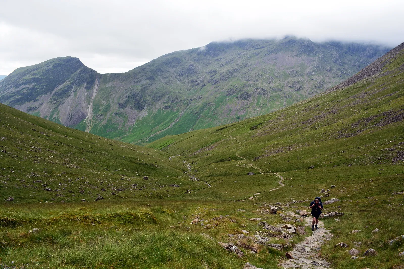
High Willhays is the roof of Dartmoor and of southern England, at 621m, with its twin summit Yes Tor just to the north at 619m. The walk from Meldon Reservoir is a proper moorland outing with no shelter and no easy bail-out, so it needs a map, compass, waterproofs and the confidence to navigate if the cloud comes down. Crucially, this ground sits inside the Okehampton firing range. Check the firing times before you go, as described below, because red flags mean the area is closed.
The Two Moors Way and letterboxing
The Two Moors Way is a 102-mile long-distance path linking Dartmoor and Exmoor, and its southern section from Ivybridge across the high moor is a brilliant multi-day challenge for experienced walkers. If you want a lighter thread to follow, Dartmoor is also the birthplace of letterboxing, the outdoor treasure hunt that started here in 1854 when a guide left a bottle for visitors' cards at Cranmere Pool. Hundreds of hidden stamps are now dotted across the moor. Planning a longer trip is a topic in itself, and it is worth thinking about the scenic drives to reach your campsite as part of the route.
Wild camping on Dartmoor: your legal right
Dartmoor is the only place in England where you have a legal right to wild camp, meaning backpack camp, without the landowner's permission. The UK Supreme Court confirmed this on 21 May 2025 when it rejected an appeal by landowners who had challenged the right, settling a case that had run for two years. Everywhere else in England you need the landowner's say-so first.
The right is not unlimited. It applies only to lightweight backpack camping in specific areas, and you must follow the official Dartmoor National Park Authority camping map for where pitching is allowed. Camp for one or two nights, pitch late and leave early, keep well away from roads and houses, take everything home and light no fires. If you would rather have a shower and a proper pitch, the campsite listings for campsites in Devon give you booked options right around the moor. You can also browse the full campsite directory and check local access before you go.
Military firing ranges: check before you walk
Three live firing ranges cover the northern moor, and you must check them before walking there. The Okehampton, Merrivale and Willsworthy ranges take in some of the best high ground, including High Willhays and Yes Tor. When firing is live, red flags fly by day and red lights show at night, and the area is closed to the public.
Firing times are published in advance by the Ministry of Defence and the National Park, so check the schedule and the flags before you set out, and never touch any metal object you find on the ground. Outside firing times the ranges are open to walk as normal. This is the one Dartmoor hazard that catches people out, so treat it as a fixed part of your planning rather than an afterthought.
Staying safe on the open moor
Dartmoor weather changes fast and the high moor offers no shelter, so go prepared. Carry OS Explorer OL28, a compass and the skills to use them, because mist can drop visibility to a few metres and the ground is broken by bogs and leats.
Pack waterproofs, warm layers, food and plenty of water whatever the forecast, and tell someone your route and expected return. Boots with ankle support beat trainers on this terrain, and there is little to no mobile signal across large parts of the moor. Start early, turn back if the weather closes in, and keep dogs under close control near the moorland livestock and ground-nesting birds.
Frequently asked questions
What is the best walk on Dartmoor?
For most people the Wistman's Wood walk from Two Bridges is the best short route, combining an ancient oak wood with easy access and river scenery in about three miles. For a summit, High Willhays from Meldon Reservoir is the top choice.
Can you wild camp on Dartmoor legally?
Yes. Dartmoor is the only place in England with a legal right to backpack camp without the landowner's permission, confirmed by the UK Supreme Court on 21 May 2025. You must camp in permitted areas shown on the Dartmoor camping map and follow the rules on fires, litter and length of stay.
What is the highest point on Dartmoor?
High Willhays at 621m is the highest point on Dartmoor and the highest point in southern England. Its twin summit Yes Tor stands just to the north at 619m. Both sit within the Okehampton firing range.
Do I need to check firing times on Dartmoor?
Yes, if you plan to walk the northern moor. The Okehampton, Merrivale and Willsworthy ranges are used for live firing. Check the published schedule before you go and never enter when red flags are flying or red lights are showing.
How long is the Two Moors Way?
The Two Moors Way runs for 102 miles between Ivybridge on Dartmoor and Lynmouth on the north Devon coast, crossing both Dartmoor and Exmoor. The Dartmoor section alone makes a strong two-day walk for experienced hikers.
Are the Dartmoor walks suitable for families?
Yes. Haytor, Postbridge and the Fingle Bridge riverside path are short, well-marked and gentle, making them ideal for families with children. Save the high moor routes like High Willhays for confident walkers who can navigate.
The short version
Dartmoor gives you granite tors, ancient woodland and Bronze Age history within a short drive of each other, plus the only legal right to wild camp in England. Pick your route to match the weather, check the firing ranges before walking the northern moor, and carry the OS map every time. Ready to plan the trip? Browse campsites in Devon or read more about camping in the UK's national parks.