Walking up Snowdon (Yr Wyddfa): the six paths and where to camp
· Updated
Yr Wyddfa, better known in English as Snowdon, is the highest mountain in Wales and England at 1,085 metres. It stands in Eryri (Snowdonia) National Park in north west Wales, and six main paths lead walkers to its summit. Yr Wyddfa is the Welsh name now used officially by the national park, and you will see it on signs and maps alongside Snowdon.
Every one of the six routes is a proper mountain walk, graded hard or strenuous by the national park, so pick your path by fitness, experience and the weather rather than by which car park is nearest. The easiest underfoot is the Llanberis Path; the toughest is the Watkin Path. None of them is a stroll.
This guide sits alongside our wider piece on camping along the UK's national trails, and it comes from Camping Sites in Britain, where you can find and compare campsites across Eryri and the rest of the country.
The six paths up Yr Wyddfa at a glance
All six paths climb between roughly 720 and 1,015 metres of ascent and take most walkers five to seven hours for the round trip. Here is how they compare.
| Path | Start | Return distance | Difficulty | In short |
|---|---|---|---|---|
| Llanberis Path | Llanberis | About 9 miles | Longest, easiest gradient | Follows the railway, steady all the way |
| Pyg Track | Pen y Pass | About 7 miles | Hard, rocky | Steep and popular, high starting point |
| Miners' Track | Pen y Pass | About 8 miles | Gentle then hard | Flat past the lakes, then a sharp climb |
| Watkin Path | Nant Gwynant | About 8 miles | Hardest, most ascent | Starts lowest, loose scree near the top |
| Rhyd Ddu Path | Rhyd Ddu | About 7.5 miles | Hard, exposed near top | The quiet one, big open views |
| Snowdon Ranger Path | Llyn Cwellyn | About 8 miles | Hard, steady | One of the oldest routes, well graded |
Llanberis Path
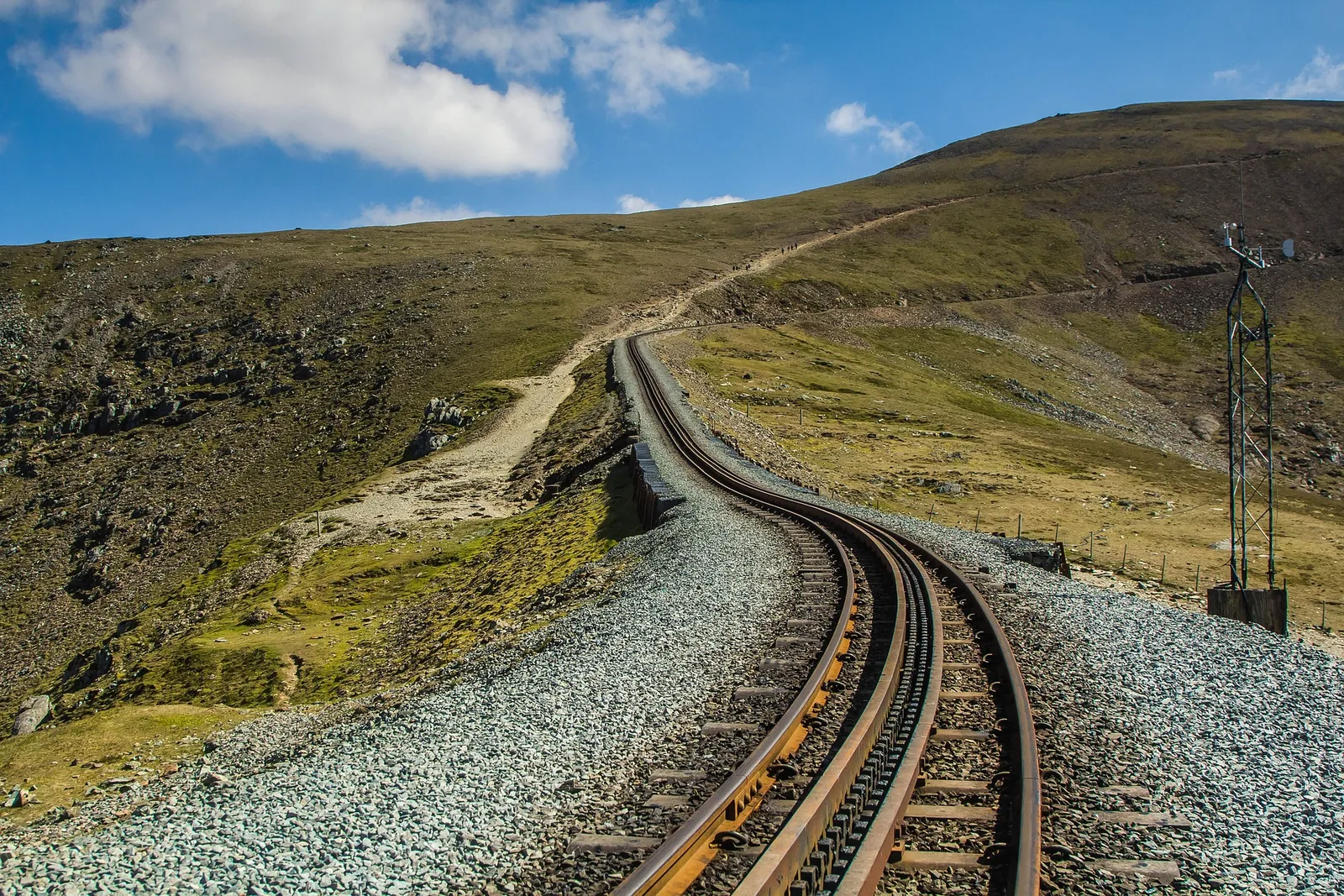
This is the longest route but the easiest on the legs, climbing about 975 metres over roughly 9 miles there and back. It shadows the Snowdon Mountain Railway the whole way, so the gradient stays gentle and steady with no scrambling. The trade off is length and, in summer, crowds, but for a first Yr Wyddfa or for walking with older children it is the sensible choice.
Pyg Track and Miners' Track
Both start from Pen y Pass, the highest of the car parks at around 359 metres, which is why they are the busiest paths on the mountain. The Pyg Track is the shorter and steeper of the two, rocky underfoot with a proper climb to the ridge. The Miners' Track begins almost flat, running past the copper mine ruins and the lakes of Llyn Teyrn and Llyn Llydaw, then steepens dramatically for the final pull. A common plan is up the Pyg and down the Miners', or the other way round.
Watkin Path
The hardest of the six, and the one with the greatest total ascent because it starts lowest, at Nant Gwynant near Bethania. It climbs past waterfalls and old woodland before a punishing final section on loose, steep scree that catches many walkers out. Only take it on if you are fit and sure footed, and save some energy for the last half hour.
Rhyd Ddu Path and Snowdon Ranger Path
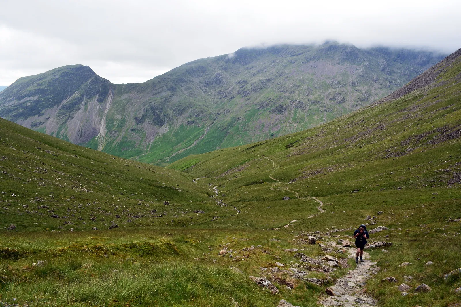
These are the quiet ones, both approaching from the west. The Rhyd Ddu Path starts at Rhyd Ddu village and gives some of the best open views on the mountain, with a narrow, exposed section near the top that deserves respect in wind. The Snowdon Ranger Path leaves from the shores of Llyn Cwellyn and is one of the oldest routes up, well graded and steady, a good pick if you want distance from the Pen y Pass throng.
The train and the summit
If walking up is not for you, the Snowdon Mountain Railway runs from Llanberis to a station just below the summit. It is a rack and pinion railway, the only one of its kind in Britain, and it climbs to within a few minutes' walk of the top. Booking ahead is essential in the main season, and services depend on the weather.
At the summit sits Hafod Eryri, the visitor centre and cafe, open when the railway is running. It is a welcome shelter and a hot drink, but do not count on it being open when you plan your day, especially outside summer or in poor conditions. The summit itself is a small, rocky cairn that can be crowded on a clear afternoon.
Staying safe on the mountain
Yr Wyddfa is a proper mountain and the weather changes fast, so treat it as one even on a bright morning. Cloud, wind and rain can close in within the hour, and the temperature at the summit is often far colder than in the valley. Every year Mountain Rescue is called out to people who set off in trainers on a sunny day and got caught out higher up.
- Carry a map and compass and know how to use them, because phone signal and battery are not reliable up high
- Pack warm layers and waterproofs whatever the forecast, plus food, water and a head torch
- Wear proper walking boots with grip, not trainers
- Check the mountain weather forecast before you set off and turn back if conditions worsen
- Tell someone your route and expected return time
One firm rule: avoid Crib Goch unless you are an experienced scrambler with a head for heights. It is a 400 metre knife-edge ridge with severe drops on both sides, not a walking path, and it accounts for a large share of the serious accidents on the mountain. Some paths from Pen y Pass can steer you towards it, so follow the waymarking carefully. In an emergency, call 999 and ask for the police, then Mountain Rescue.
Pen y Pass car park is small and fills early, so you must book a parking space ahead in the main season. Many walkers park in Llanberis or Nant Peris and take the Sherpa'r Wyddfa bus instead, which saves a lot of frustration on a busy weekend. For more advice suited to walking with children, our guide to the best family hikes in Wales is a good starting point.
Where to camp near Yr Wyddfa
The best bases sit in the valleys around the mountain, so you can start early and beat the crowds. Three villages stand out.
- Llanberis puts you at the foot of the Llanberis Path and the railway, with plenty of pubs, shops and gear hire
- Nant Gwynant gives quick access to the Watkin Path and the Pen y Pass side, in a quiet, wooded valley
- Beddgelert is a pretty village handy for the southern and western paths, with the Welsh Highland Railway on the doorstep
You can find and compare pitches across the area in our directory of campsites in Gwynedd. Book ahead for summer weekends and bank holidays, when sites near the mountain fill quickly.
How it compares to Britain's other big peaks
Yr Wyddfa is the highest point in Wales and England, but not in Britain. If you are ticking off the national three peaks, our companion guides cover climbing Ben Nevis, the highest mountain in the UK, and climbing Scafell Pike, the highest in England. All three demand the same respect for weather and kit, even though Yr Wyddfa is the busiest and has the most path choices.
Frequently asked questions
How high is Yr Wyddfa (Snowdon)?
Yr Wyddfa reaches 1,085 metres, making it the highest mountain in Wales and the highest in England and Wales combined. Only peaks in the Scottish Highlands, including Ben Nevis at 1,345 metres, are higher in Britain.
Which is the easiest path up Snowdon?
The Llanberis Path is the easiest on gradient, climbing steadily beside the railway with no scrambling. It is also the longest at about 9 miles there and back, so it takes time rather than technical skill.
How long does it take to climb Yr Wyddfa?
Most walkers take five to seven hours for the round trip, depending on the path, the weather and your pace. Allow longer for the Watkin Path, for busy days, and if you stop at the summit cafe.
Do I need to book parking at Pen y Pass?
Yes. Pen y Pass car park is small and must be booked ahead in the main season. Many walkers park in Llanberis or Nant Peris and use the Sherpa'r Wyddfa bus instead.
Is Crib Goch a walking route?
No. Crib Goch is a 400 metre knife-edge ridge and a technical scramble with severe drops, not a path for walkers. Avoid it unless you are an experienced scrambler with a head for heights and the right conditions.
Can you get a train up Snowdon?
Yes. The Snowdon Mountain Railway runs from Llanberis to a station just below the summit, weather permitting. Book ahead in the main season, as services are popular and can be cancelled in poor conditions.
The short version
Yr Wyddfa gives you six ways to the top of the highest mountain in Wales and England, from the long, steady Llanberis Path to the brutal Watkin. Whichever you choose, carry proper kit, check the mountain forecast, book Pen y Pass ahead and steer well clear of Crib Goch. Sort your base first in our directory of campsites in Gwynedd, then pitch up and enjoy the climb.