Navigating the UK's National Trails: Routes, Distances and Safety
· Updated
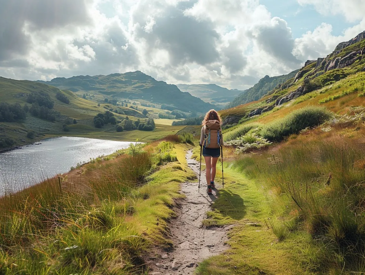
England and Wales have 20 National Trails, a network of waymarked long-distance paths that runs from the 630 mile South West Coast Path down to the 79 mile Yorkshire Wolds Way. They are managed by Natural England and Natural Resources Wales, marked with the acorn symbol, and open to walk for free with no permit needed. Scotland runs its own equivalent, Scotland's Great Trails, which includes the 96 mile West Highland Way.
Choosing the right one, and finishing it safely, comes down to matching the distance and terrain to your fitness, packing the right footwear and kit, and knowing exactly what to do if the weather turns or someone gets hurt. This guide covers all of that, with real routes, real distances, and the mountain safety procedure that gets help to you fast.
It is the National Trails guide from Camping Sites in Britain, where you can find and compare campsites, caravan parks and glamping across the UK.
The main National Trails at a glance
Here are some of the best known routes, their distances, and who each one suits. Distances come from the official National Trails body.
| Trail | Distance | Where | Character |
|---|---|---|---|
| South West Coast Path | 630 miles | Somerset to Dorset via Devon and Cornwall | The longest. Cliffs, coves and a lot of ascent |
| Pennine Way | 268 miles | Derbyshire to the Scottish border | Britain's first, opened 1965. Tough moorland |
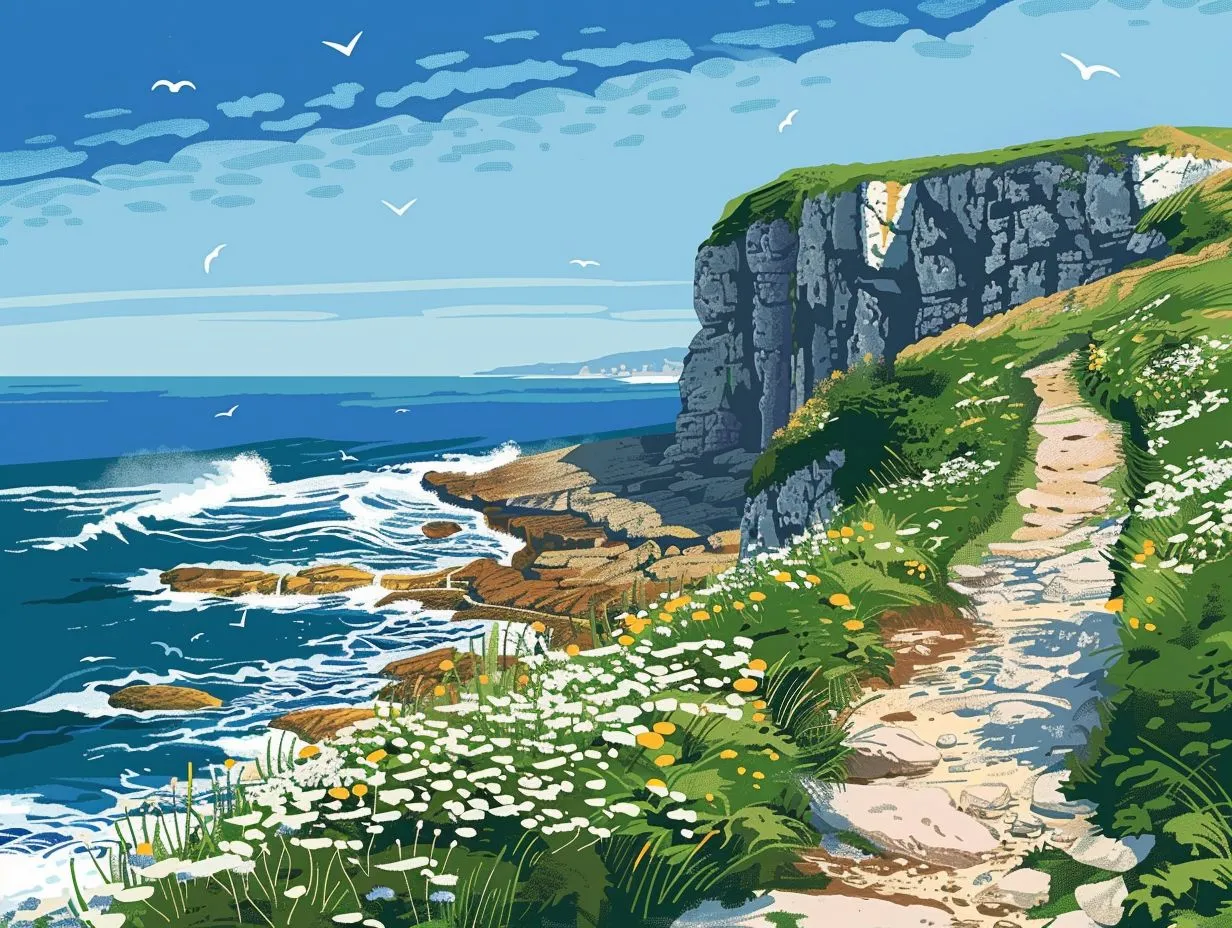
| Pembrokeshire Coast Path | 186 miles | West Wales | Wild Atlantic coast, seabirds and beaches |
| Offa's Dyke Path | 177 miles | The England and Wales border | Ancient earthwork, rolling and varied |
| Coast to Coast Path | 190 miles | Cumbria to North Yorkshire | Lakes, Dales and Moors in one crossing |
| Cotswold Way | 102 miles | Chipping Campden to Bath | Gentle escarpment, honey stone villages |
| Hadrian's Wall Path | 84 miles | Wallsend to the Solway coast | The Roman frontier, coast to coast in a week |
| The Ridgeway | 87 miles | Wiltshire to the Chilterns | Britain's oldest road, dry chalk downland |
The trend is clear. Distance and difficulty vary enormously, and the acorn on the signpost tells you nothing about how hard the day will be. That comes down to ascent, remoteness and weather, which is where planning starts.
What counts as a National Trail
A National Trail is a nationally designated long-distance path in England or Wales, maintained to a set standard and waymarked with the acorn. There are 20 of them, from short chalk ridges to the 2,700 mile King Charles III England Coast Path, which was renamed in 2023 and is the longest managed coastal walking route in the world.
They are free to walk and need no permit, though the campsites, car parks and pubs along them are not. Scotland's long-distance routes sit under a separate banner, Scotland's Great Trails, but the walking experience is the same. If you want a taste of coastal path walking before committing to a full trail, our guide to visiting UK waterfalls near campsites and the many walks near campsites in our directory are a good place to start.
Choosing the right trail for you
Pick your trail on three things: total distance, daily ascent, and how remote it gets. A flat 15 mile day on the Thames Path is a world away from 15 miles over the Cheviots on the Pennine Way, where the ground is boggy, the weather changes fast, and help is a long way off.
If you are new to long-distance walking, start with a well served, lower level route. The Cotswold Way and Hadrian's Wall Path both have accommodation every few miles, gentle daily distances, and no serious exposure. Our guide to beginner-friendly mountain hikes in the UK is worth reading first if you want to build confidence on the hills before a full trail.
By region and interest
Match the trail to the landscape you actually want to see. Coast walkers head for the South West Coast Path in Cornwall and Devon, or the Pembrokeshire Coast Path in west Wales. Hill walkers gravitate to the Pennine Way and the peaks around it.
- Wales: the Pembrokeshire Coast Path and Offa's Dyke, plus the mountain routes up Snowdon (Yr Wyddfa) in Gwynedd. See our Snowdon walking routes guide, and for softer days out, the best family hikes in Wales.
- The Lake District and the north: the Coast to Coast crosses the Lake District, where England's highest peak sits. Read ascending Scafell Pike before you go.
- Yorkshire: the Cleveland Way and Coast to Coast both cross the moors of North Yorkshire. Our guide to the North York Moors walks covers the best of it.
- Scotland: the West Highland Way is the classic, and the Highlands hold the biggest hills. See climbing Ben Nevis, tips for hiking in the Scottish Highlands, and the beginner's guide to climbing Munros. For island escapes, the best backpacking routes in the Scottish isles is a brilliant starting point.
- Gentler options: the Cotswolds circular routes, the flat canal towpath walks, the wildflower walks near campsites, and the quiet trails of Lincolnshire.
The National Trails are also open to horse riders and cyclists on many stretches, and the Pennine Bridleway is designed for them. If you ride, our guide to camping and horse riding across the UK pairs stables with pitches. Climbers chasing crags rather than paths should read the best campsites for rock climbers.
Planning a multi-day walk
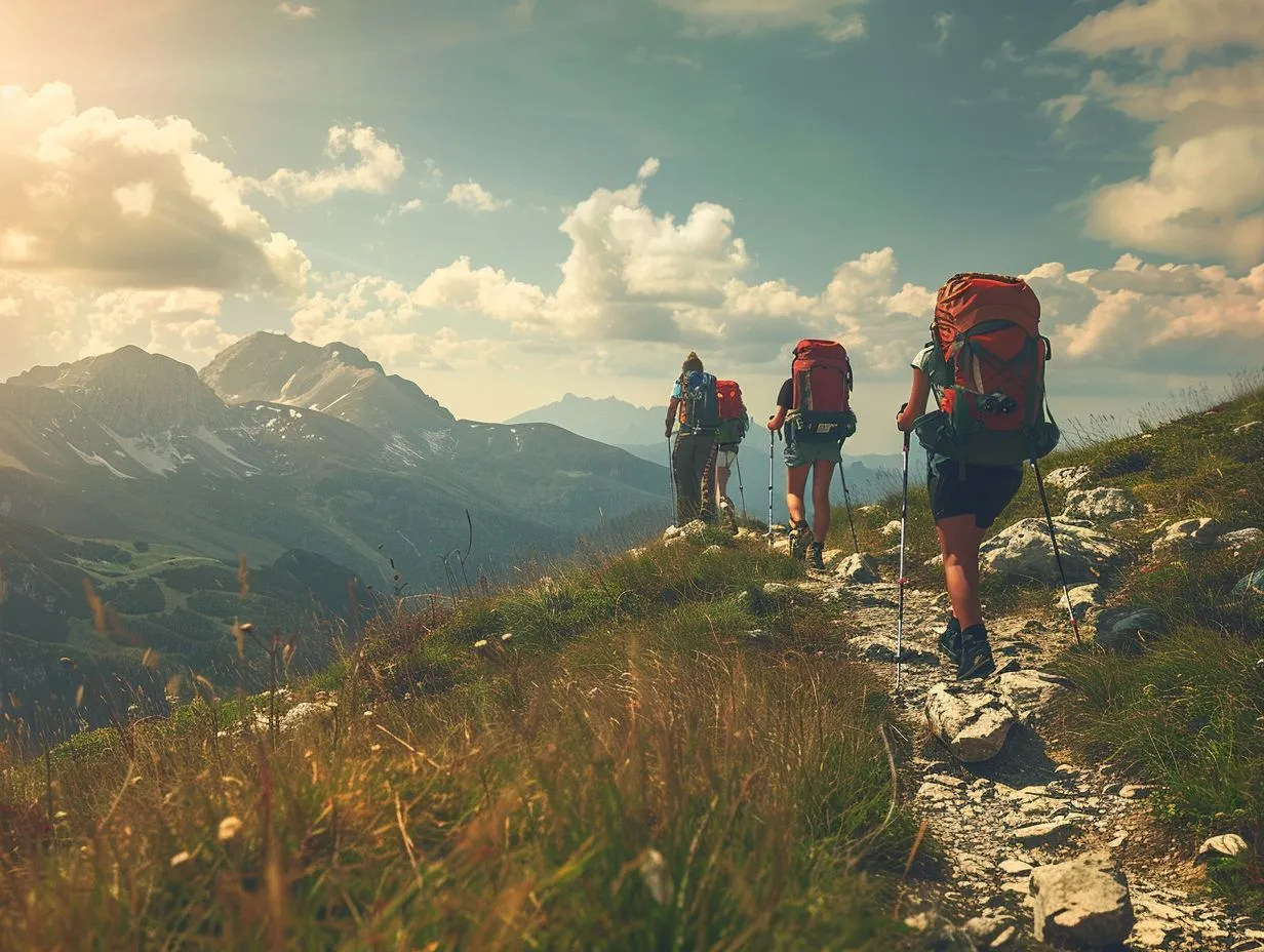
A multi-day trail is a series of manageable days, not one heroic push. Work backwards from your fitness: settle on a realistic daily distance, then divide the trail into stages that end where there is a campsite, bunkhouse or B&B. Book ahead in summer, because the popular sections fill up.
Plan for a rest day every few days on longer routes, carry a day's food buffer, and always have an escape route off each stage in case weather or blisters force an early finish. Our full guide to planning a multi-day hiking trip walks through stages, resupply and timing, and backpacking in the UK's national parks covers wild pitching and permissions where the trail crosses protected land.
Navigation: the acorn is not enough
Waymarking gets you along the path in good visibility, but it disappears in mist, on open moorland, and wherever the acorn post has fallen over. Carry a paper Ordnance Survey map and a compass, and know how to use them, because your phone will run out of battery at the worst possible moment.
The OS Explorer (orange) 1:25,000 maps show field boundaries and are the standard for trail walking. A mapping app such as OS Maps is a fine backup, not a replacement. Learn the basics of taking a bearing and relocating before you need them: our guide to using a map and compass covers it properly. A pair of walking poles also earns its place on rough, steep and boggy ground.
Footwear and kit
Your feet decide whether the trip is a pleasure or a limp. The choice between sturdy boots and lighter trail shoes depends on the ground, the load and your ankles, and there is no single right answer. Boots suit heavy packs and rough mountain terrain; trail shoes suit fast, dry, lower level paths. Our guide to walking boots versus trail shoes breaks down when each wins.
Beyond footwear, the layering system matters more than any single item. Pack a waterproof jacket and trousers, warm mid layers, a hat and gloves even in summer, spare dry socks, and a small first aid kit with blister plasters. Weather on British hills turns cold and wet in minutes, whatever the forecast said at breakfast.
Hydration and food on the trail
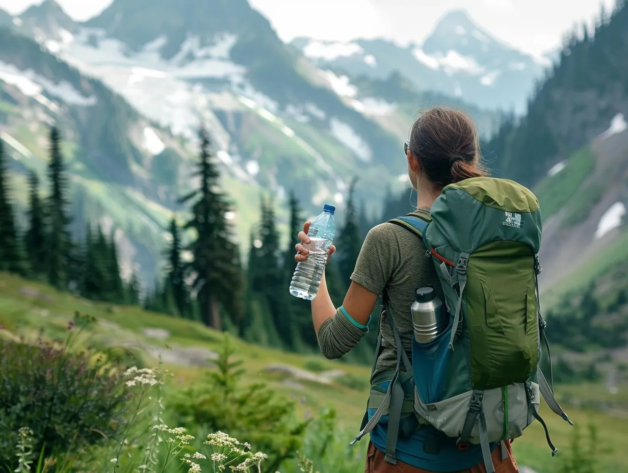
Aim for around 500ml of water an hour in warm weather or on hard climbs, and more in heat. Dehydration is the quiet reason a lot of good days fall apart, bringing on headaches, cramp and poor decisions before you notice you are thirsty. Plan your refills around streams and taps, and carry a filter or purification tablets if you are drinking from the hill. Our strategies for hydration while hiking guide covers how much to carry and when to drink.
Mountain safety and getting help
Most trail emergencies are avoidable, and the ones that are not are survivable if you plan for them. The two things that keep you safe are checking a proper mountain weather forecast before you set out, and knowing exactly how to call for help.
For weather, use the Mountain Weather Information Service (MWIS) and the Met Office mountain forecasts. Both give summit level wind, temperature, cloud base and the chance of a clear top, which is completely different information from a town forecast. Turn back if the conditions are worse than you planned for. The mountain will still be there next month.
How to call Mountain Rescue
If someone is seriously hurt, benighted or lost, this is the procedure, confirmed by Mountain Rescue England and Wales:
- Dial 999 (or 112), ask for the Police, then ask for Mountain Rescue. Mountain Rescue is called out through the police, not the ambulance service.
- Give your location as a grid reference or a what3words address, plus what has happened, the number and condition of casualties, and your phone number.
- To get an accurate grid reference, install the free OS Locate app before you go. It works with no signal, reading your position from GPS.
- Stay where you are once you have made contact, keep the casualty warm and sheltered, and do not move unless you are in further danger.
If you have no voice signal but can send a text, you can reach 999 by SMS, but only if you have registered your phone in advance by texting the word "register" to 999. Do that at home; it takes two minutes. Mountain Rescue teams are volunteers who charge nothing, so never hesitate to call if the situation is genuinely serious.
For the broader picture on managing risk in the hills, from route choice to what to do if you are caught out, read our tips for mountain climbing safety. Everyone in the party should know the call-out procedure, not just the leader.
The short version
Pick a National Trail that matches your fitness, not your ambition, then plan it in stages with a campsite at the end of each day. Carry a map and compass and know how to use them, get your footwear and layers right, drink before you are thirsty, and check MWIS or the Met Office mountain forecast before you leave the car park.
Learn the call-out procedure now, while you are sitting comfortably: 999, ask for the Police, then Mountain Rescue, and give an OS Locate grid reference or what3words. Get those basics sorted and Britain's trails are some of the finest walking anywhere. Find your pitch for the trip in our campsite directory, or start planning from the Camping Sites in Britain homepage.
Frequently asked questions
How many National Trails are there in the UK?
England and Wales have 20 National Trails, marked with the acorn symbol and managed by Natural England and Natural Resources Wales. Scotland has a separate network, Scotland's Great Trails, which includes routes such as the West Highland Way.
What is the longest National Trail?
The King Charles III England Coast Path, at 2,700 miles, though it is still being completed in sections. Of the long-established trails, the South West Coast Path is the longest at 630 miles, running from Minehead in Somerset to Poole Harbour in Dorset.
Do I need a permit to walk a National Trail?
No. National Trails are free to walk and need no permit or booking. You pay only for what you use along the way, such as campsites, car parks and accommodation. Some sections cross farmland, so follow the Countryside Code and keep dogs under control.
How do I call Mountain Rescue in the UK?
Dial 999 or 112, ask for the Police, then ask for Mountain Rescue. Give your location as a grid reference or what3words address, describe what has happened, and stay put once contact is made. The service is free and run by volunteers.
What weather forecast should I use for the hills?
Use the Mountain Weather Information Service (MWIS) or the Met Office mountain forecasts, not a standard town forecast. They give summit-level wind, temperature and cloud base, which are often far more severe than conditions in the valley below.
Are boots or trail shoes better for long-distance walking?
Boots suit heavy packs and rough mountain ground because they support the ankle and keep water out. Trail shoes are lighter and quicker on dry, lower-level paths. The right choice depends on the terrain, your load and how much ankle support you need.