The Best Jurassic Coast Walks: Durdle Door, Golden Cap and Old Harry Rocks
· Updated
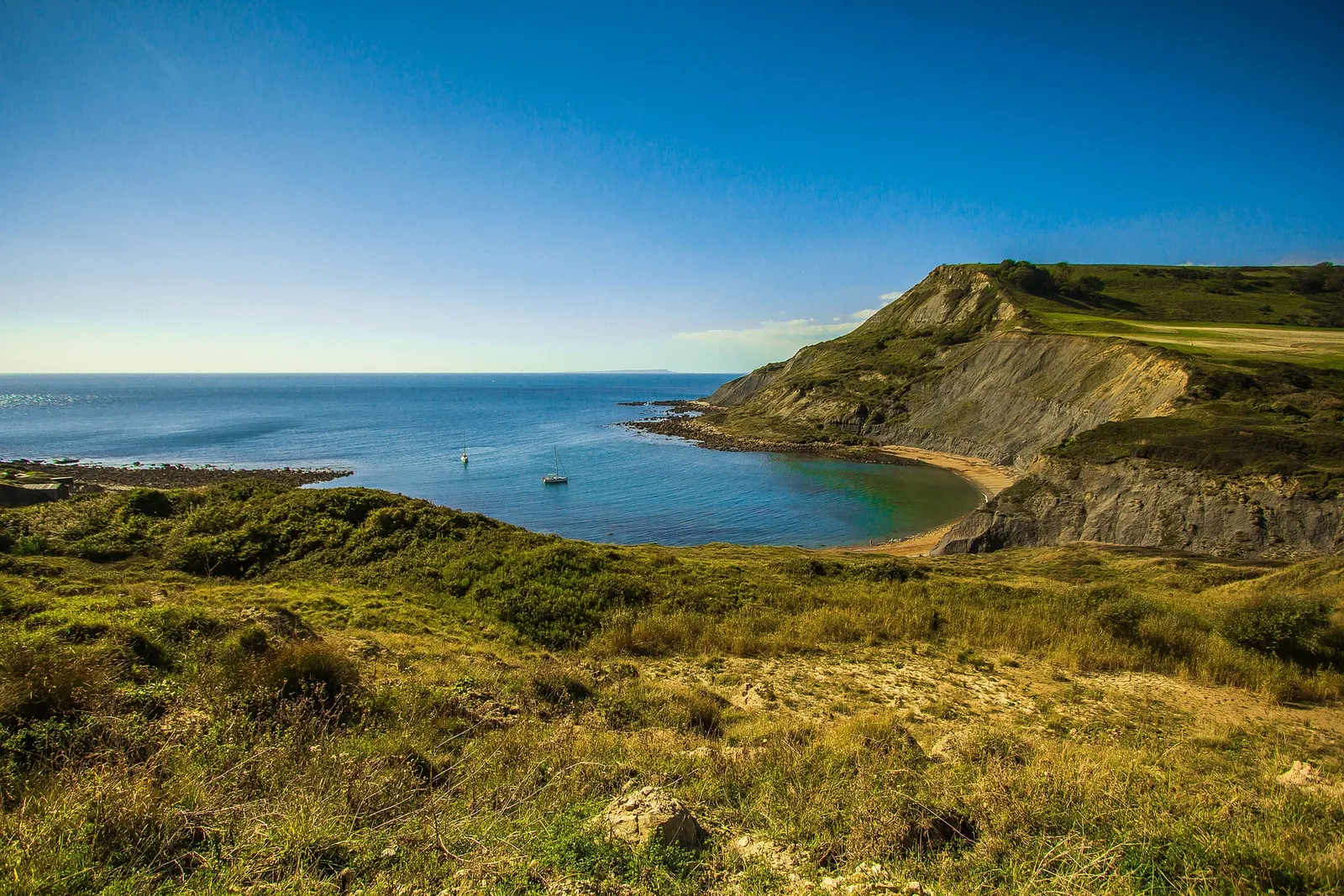
The best walks on the Jurassic Coast are the short loop over Durdle Door and Lulworth Cove, the climb to Golden Cap at 191 metres, the chalk stacks of Old Harry Rocks at Studland, the fossil beaches between Charmouth and Lyme Regis, and the red sandstone stacks of Ladram Bay in East Devon. Every one sits on the South West Coast Path, and every one can be walked in a morning.
The Jurassic Coast runs 95 miles from Exmouth in East Devon to Studland in Dorset. It is England's only natural World Heritage Site, inscribed by UNESCO in 2001 for the 185 million years of geology laid bare in its cliffs. You walk east through time here: Triassic red rock in Devon, Jurassic clays and limestone through Lyme Bay, then Cretaceous chalk at the Dorset end.
This is part of our guide to coastal camping in the UK, and it comes from Camping Sites in Britain, where you can find and compare campsites near every walk below.
The best Jurassic Coast walks at a glance
These five walks cover the whole range, from a flat family stroll to a proper cliff climb. Distances are approximate and most are there-and-back or short circulars, so you can turn round whenever you like.
| Walk | Distance | Start | Best for |
|---|---|---|---|
| Durdle Door and Lulworth Cove | About 2 miles (3.2km) round trip | Lulworth Cove car park, Dorset | The iconic arch and cove |
| Old Harry Rocks | About 3 miles (5km) round trip | Studland village, Dorset | Easy walking, chalk stacks |
| Golden Cap | About 3 miles (5km) circular | Seatown, near Chideock, Dorset | The best view on the coast |
| Charmouth to Lyme Regis | About 1.5 miles (2.5km) one way | Charmouth beach, Dorset | Fossil hunting |
| Ladram Bay | About 3 miles (5km) from Sidmouth | Sidmouth seafront, Devon | Red sandstone sea stacks |
Durdle Door and Lulworth Cove
This is the most photographed mile of coastline in England, and the walk to see both landmarks is short. From the Lulworth Cove car park, a steep path climbs over Hambury Tout and drops to Durdle Door, the natural limestone arch, in about a mile, then you return the same way for a round trip of roughly 2 miles. The climb is sharp but brief, and the views back over the cove are worth every step.
Go early. Lulworth is one of the busiest spots on the whole coast in summer, and the car park fills by mid morning on a fine day. The stone staircase down to Durdle Door beach is steep, and the shingle underfoot is loose, so wear proper shoes rather than sandals.
Heading east from Lulworth Cove towards Mupe Bay and Kimmeridge takes you into the Lulworth Ranges, live military firing ranges owned by the Ministry of Defence. The coast path through the ranges is open most weekends and school holidays but closed on firing days, so check the Lulworth firing notice on GOV.UK before you set off. Stay on the marked path and never touch anything you find on the ground there.
Old Harry Rocks, Studland
Old Harry Rocks are the chalk stacks that mark the eastern end of the Jurassic Coast, and the walk to them is the gentlest on this list. From Studland village it is a flat, easy 1.5 miles out to Handfast Point along the clifftop, about 3 miles there and back, on a wide grass path with almost no climbing. It suits families, older walkers and anyone who wants the drama without the effort.
The stacks are the same band of chalk that forms The Needles on the Isle of Wight, once joined across the bay. Keep well back from the cliff edge, which is undercut and unfenced, and keep dogs and children close. On a clear day you can see Bournemouth, Poole Bay and the Isle of Wight from the point.
Golden Cap
Golden Cap is the highest point on the south coast of England, at 191 metres (627 feet), and the view from the top runs from Portland in the east to Start Point in Devon. The most popular route is a circular of about 3 miles from the National Trust car park at Langdon Hill, or a slightly shorter and steeper climb straight up from the beach car park at Seatown, near Chideock.
The final pull to the flat summit is steep and can be slippery after rain, so this is one to save for a dry day with good boots. The reward is the widest, most open panorama anywhere on the Jurassic Coast, with the golden greensand cap that gives the hill its name glowing in low sun.
Charmouth to Lyme Regis
This is the best fossil walk on the coast, and one of the easiest. It is roughly 1.5 miles each way along the beach and clifftop between Charmouth and Lyme Regis, and the foreshore between the two is where 200 million year old ammonites and belemnites wash out of the crumbling cliffs after winter storms. The Charmouth Heritage Coast Centre at the Charmouth end runs guided fossil walks and can tell you what the tide is doing.
Time this walk around low tide. The beach route is cut off by the sea at high water, and the cliffs here are among the most unstable in Britain. Never dig into the cliffs or the mudflows at their base, and collect only loose fossils already lying on the beach. There is more on where to base yourself in our guide to the best campsites for dinosaur fossil hunting.
Ladram Bay, East Devon
Ladram Bay is the Jurassic Coast at its western, Triassic end, where the cliffs turn deep brick red. The bay is guarded by a cluster of red sandstone sea stacks, the same rock that gives Devon its famous red soil, and the coast path reaches it as part of a fine 3-mile walk from Sidmouth seafront over Peak Hill and High Peak. It is quieter than the Dorset honeypots and just as striking.
The 630-mile South West Coast Path threads all of these walks together, so you can join short there-and-back sections or link several across a long weekend. For a longer coastal itinerary, see our guide to exploring Britain's coastal pathways.
Fossils, tides and cliff safety
The single most important rule on this coast is to stay away from the base of the cliffs and off the mudflows. The cliffs from Lyme Regis to Charmouth and around West Bay are actively eroding, and rockfalls and mudslides happen without warning, in dry weather as well as wet. That erosion is exactly what exposes the fossils, but it makes the ground beneath the cliffs genuinely dangerous.
Follow the West Dorset Fossil Collecting Code: collect only from the beach and foreshore, never hammer or dig into the cliff face, and always check the tide before you set out so you are not cut off. A rising tide against a cliff is how walkers get trapped here. Carry a tide table, wear grippy footwear, and keep to marked paths on the clifftops, which can slump near the edge.
The Jurassic Coast Trust publishes the current fossil code and live safety guidance for the whole World Heritage Site, and it is worth a look before a fossil day out. For more on planning a coastal trip around the tides and the path, see our guide to Britain's coastal trails and campsites.
Where to camp for the Jurassic Coast walks
Base yourself in Dorset for the eastern and central walks and in East Devon for the Triassic western end. The Dorset stretch, from Lyme Regis and Charmouth through to Studland, puts you within easy reach of Golden Cap, Durdle Door and Old Harry Rocks, and there are campsites and holiday parks strung right along it. Browse and compare options on our Dorset campsites pages.
For Ladram Bay, Sidmouth and the red cliffs of the western end, look at Devon campsites near Sidmouth, Budleigh Salterton and Exmouth. If you want to see the full range of pitches, caravan parks and glamping across the country, start at our main campsite listings.
Frequently asked questions
What is the best walk on the Jurassic Coast?
For most people it is the short loop over Durdle Door and Lulworth Cove, about 2 miles round trip, because it packs the two most famous landmarks into a morning. For the best view, climb Golden Cap, the highest point on the south coast of England at 191 metres.
How long is the Jurassic Coast?
The Jurassic Coast runs 95 miles from Exmouth in East Devon to Studland in Dorset. It is England's only natural World Heritage Site, inscribed by UNESCO in 2001 for 185 million years of geology exposed in its cliffs.
Where can you find fossils on the Jurassic Coast?
The beaches between Charmouth and Lyme Regis are the best and easiest place to find fossils, especially after winter storms and at low tide. Collect only loose fossils from the beach, never dig into the cliffs, and check tide times before you go.
Is Golden Cap a hard walk?
It is a moderate walk with one steep, short climb to the 191-metre summit. The circular from Langdon Hill is about 3 miles. The final pull can be slippery after rain, so wear proper boots and pick a dry day for the view.
Can you walk from Lulworth Cove to Durdle Door?
Yes. It is roughly a mile each way over Hambury Tout, a steep but short climb, for a round trip of about 2 miles. Heading the other way, east of Lulworth Cove, crosses the Lulworth firing ranges, which close on firing days.
Are the Jurassic Coast cliffs dangerous?
Yes, if you get too close. The cliffs erode constantly, and rockfalls and mudslides happen without warning. Stay away from the base of the cliffs, keep back from unfenced clifftop edges, and never dig into the rock.
The short version
Walk Durdle Door and Lulworth Cove for the icons, Old Harry Rocks for an easy family stroll, Golden Cap for the view, and Charmouth to Lyme Regis for fossils, all off the South West Coast Path. Check tide times, keep clear of the cliffs, and check the Lulworth firing notice if you are walking east of the cove.
When you have picked your walk, find a base nearby through our guide to coastal camping in the UK or browse the campsite listings directly.